Syrdarya, best known for the works of ancient Greek and Roman historians, travelers and according to the medieval Arab sources as Yaksart and Seyhun, has been inhabited since the Stone Age. The first mention of the ancient monuments, localized in the area, was found in the works of ancient authors. Ancient historian, geographer Strabo in his writings describes Massaget tribes, «who lived in the swampy areas» shores of the Aral Sea, and chroniclers, who described the campaign of Alexander the Great, 4 isolated tribe: apasiak, tohar, augas and sakaravak.
These tribes lived in the 1st millennium BC in valleys of now dry rivers- Karadarya, Inkardarya, Zhanadarya, Kuvandarya, Eskidarya and Zhetyasar. To date, about these rivers recorded over 200 monuments, the largest of which are settlements Babishmolla and Chirik-Rabat, mounds Alyp and Kabyla, settlements with fortifications Zhetyasar, mausoleums Sengirtam and Balandy.

Targeted research antiquities held in 18th-19th centuries, can be found in the works of I. Gladyshev, D. Muravina, S. Remezova, P. Rychkova, A. Levshina, J. Castanet, etc. The first archaeological excavations carried out in 1867 on the site Zhankent by I. Lerch. Systematic archaeological research in the region began in 1946.
As a result of large-scale reconnaissance work of Khorezm Archeological and Ethnographic expedition led by S. Tolstova, in the middle reaches and ancient deltas of Syrdarya, Zhanadarya and Inkadarya were found several dozen sites of the Stone Age, Bronze Age burial sites, settlements and kurgans of Early Iron Age, as well as towns and separate estates of the Middle Ages. The minor excavations among of them were carried out on the sites of Chirik-Rabat, Balanda, Babish mullah on cemeteries Uygarak and Tagisken. Preliminary periodization and chronology was developed on materials of studied monuments.
The half century passed since that time, during of which significant changes happened in archeological science. Modernized methodology was developed and implemented. The methods of field research were developed and also high-precision instruments have been used. In this regard, at the request of the Institute of Archaeology the research of Chirik-Rabat settlement was included in the list of unique ancient monuments of Kazakhstan.
In 2004, under the State program «Cultural Heritage» Chirik-Rabat archaeological expedition led by J. Kurmankulova, which continues to explore the settlement and nearby monuments, was created.

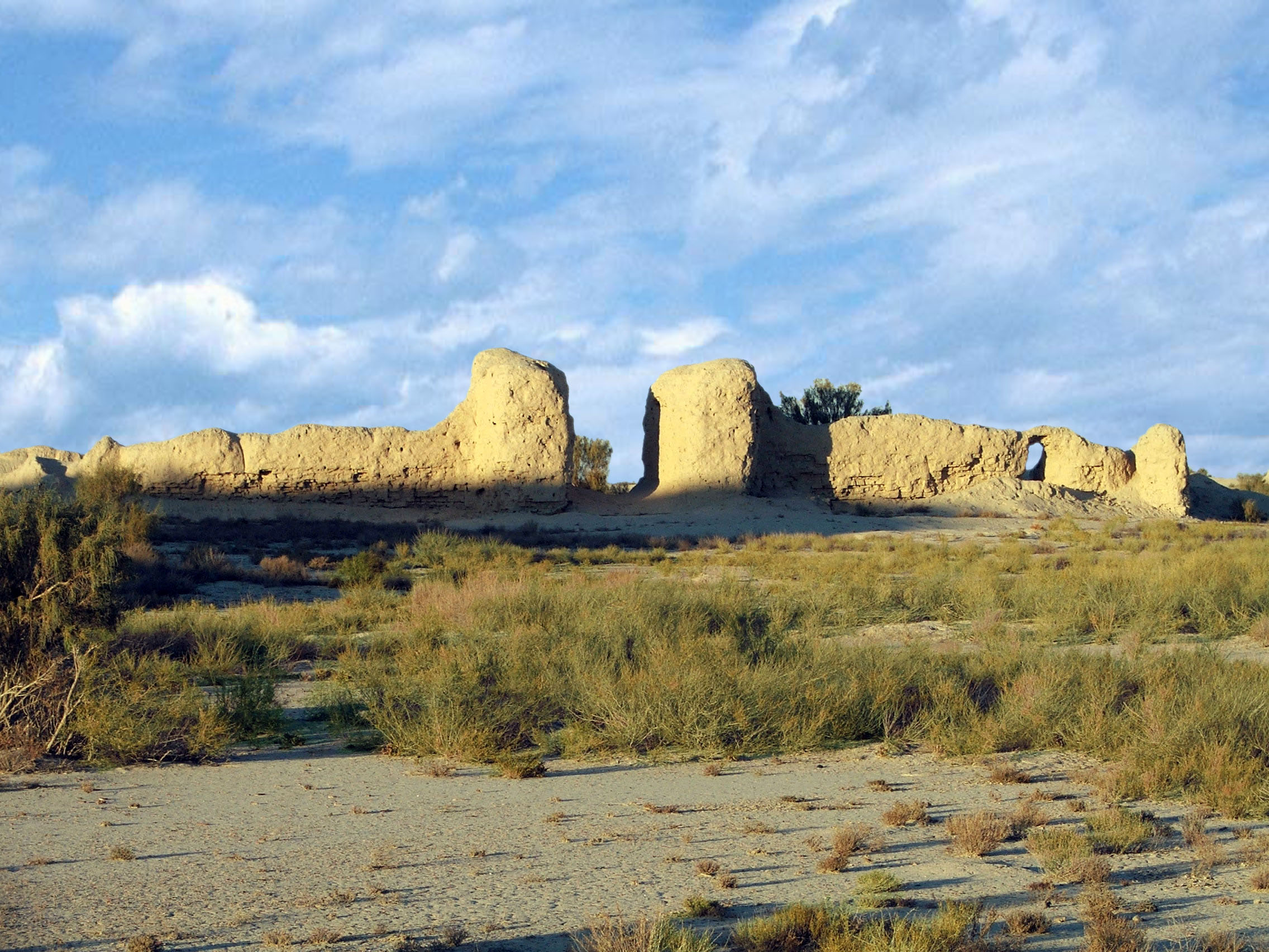
Settlement Chiric-Rabat is located 300 km southwest of Kyzylorda, 110 km south of the village Zhanakala Karmakchinsky district on the left bank of the ancient tributary of the Syrdarya-Zhanadarya. Settlement occupies the entire area of a natural hill, with measurements 850×600 meters. Settlement strengthened with powerful fortification system. A trench with width in some places — 40 m, depth — 4.5 m from the ditch emissions was built outer shaft. Preserved height of it reaches 3 m and width at the base — 8–10 meters.
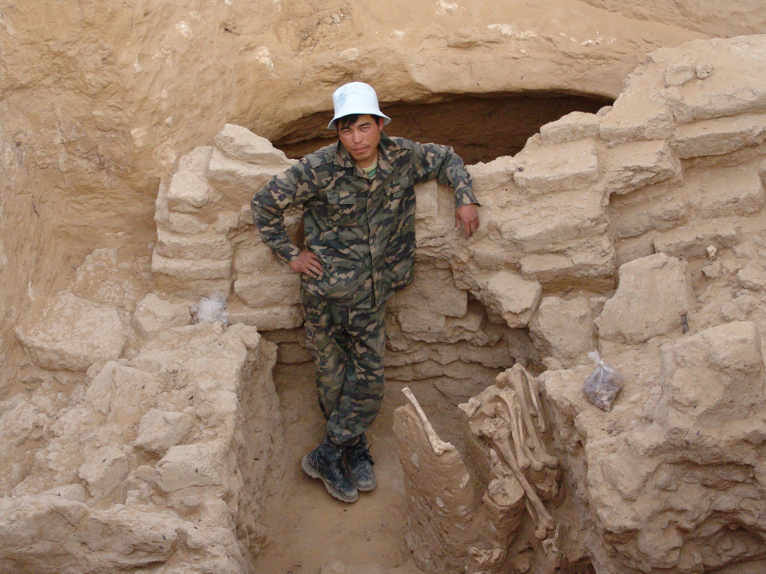
It should be noted that the mound were inhabited several times. The oldest part of it is the northern, the higher part of the hill, where there are two large mound and three annular structures with high walls. Also, this part of the space between the mounds, as revealed in recent years, was filled with rectangular and oval burial structures. Thus, initially at the highest part of the hill there is a cemetery. Then, perhaps simultaneously, in the southern part of the sloping hill residential buildings were built. At this time, the powerful new cob wall, height — 4 m, width — 4.5 m, the wall has a rifle gallery width — up to 1.8 m. This wall is reinforced with rectangular towers and mainly with oval shapes that protrude from the flatness of the wall on 6 m and were reported inside from the shooting gallery. The fortress wall and tower were cut by sagittal loopholes.

During the research around the settlement a whole system of artificial irrigation network, originating from the mainstream Zhanadarya was revealed. Traces of trunk canals and irrigated fields are well defined. Along the canals stretching over 40 km, series of settlements consisting of 7–8 houses was located. More interesting is that in the middle of two or three of these settlements is a fortified building type Tortkul, rectangular in 60×80 m parties and the towers on the corner. They differ in configuration and a clear height of the walls to 1–1.5 m. There are three such settlements around Chirik-Rabat.
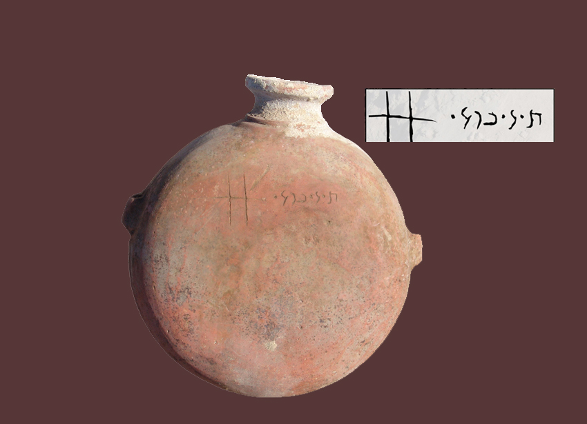
According to the findings, which spread within a radius of 300–500 m around villages, they lasted quite a long time. Among the findings there are a lot of fragments of pottery and hand-made models typical for Saks period. Stone and glass beads (some of them — painted), fragments of copper products are often found. Animal bones are extremely rare, indicating that the agricultural tendency of the economy of village residence.
Findings of the investigated objects Chirik-Rabat witnesses the high level of social settlement residents and towns, which were headed by the king and the military aristocracy. Society was divided into several hierarchical categories. The upper level, according to the enormous size of mounds, was occupied by special Tsarist toiletries, then stood priests and military aristocracy, one of the burials which were investigated in 2005. The rest of society, who were settled on numerous fortified settlements of non-fortified type in Chirik-Rabat, occupied the lowest level.
Culture of tribes of the region developed in close contact with the tribes of the Middle East, the Mediterranean civilization and Egypt. Further research will undoubtedly open new page in the history of ancient Turan.


